

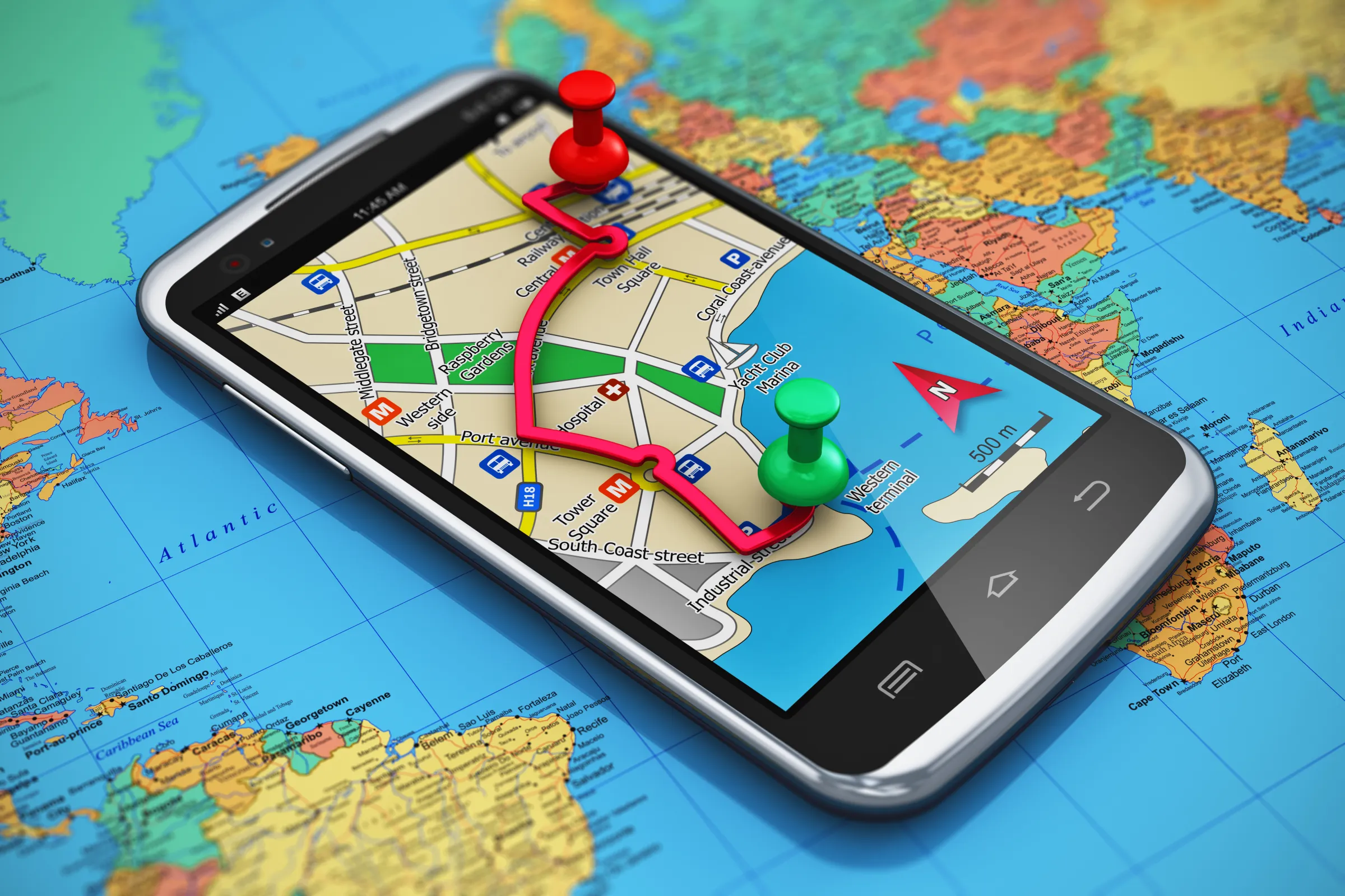
A good navigation app should do more than simply show a route from one point to another. When you are travelling, you may need to check traffic, understand the area around your destination, find a nearby place, save a route for later or continue using maps when the internet connection is weak. Satellite maps, GPS navigation and location tools can make these everyday situations much easier by giving users more information before and during a journey. Whether you are driving through a busy city, visiting somewhere new or planning a longer trip, having the right map tools on your Android phone can make travelling feel more organized and convenient.
Get a Better View of Your Destination Before You Leave
Reaching an unfamiliar destination can be stressful when a normal street map does not give you enough information about the surrounding area. You may want to see nearby roads, understand the terrain, check traffic or find useful places before you arrive.
Live Earth Satellite View Maps by MZ Tech is designed for users who want a more visual and practical way to explore locations.
The app includes Earth Map, 3D Map and 3D Terrain, allowing users to explore places from different perspectives. A 3D view can be useful when you are visiting a location for the first time because it can provide a clearer understanding of the area than a simple flat road map.
Before starting a journey, the Route Planner can help you prepare your route and understand how you will reach the destination. The app also includes Traffic Map and Live Traffic, which can be useful when you want to check road conditions before leaving.
This becomes especially important during busy hours. A familiar road may suddenly become congested, and knowing about traffic conditions before starting can help you plan your journey more effectively.
The Voice Map feature adds another layer of convenience while travelling. Voice-based navigation can help users follow their route without needing to focus on the screen continuously.
If you are searching for a specific destination, Address Finder can help locate it. Once you know where you are going, Distance Measure can be useful for checking the distance between places, while Nearby Places can help you explore useful locations around your destination.
For drivers who regularly travel the same routes, Saved Routes can make everyday navigation faster. Instead of repeatedly searching for the same destination, users can keep important routes available. Recent Routes can also help you quickly return to places that you have searched before.
Electric vehicle drivers may also find the EV Charging Stations feature useful. Finding charging locations can be an important part of planning a journey, particularly when you are travelling through an unfamiliar city or taking a longer road trip.
The app also includes driving tools such as Speedometer, HUD Speedometer, Speed Tracking and Speed Alerts. These features can help drivers stay more aware of their speed while travelling.
Beyond maps and navigation, users can access Weather, Compass, STD Codes and Ask AI. Weather information can be useful when deciding when to start a journey, while the Compass gives you quick directional guidance.
If you are looking for an Android app that combines earth satellite maps, 3D views, live traffic, route planning, EV charging stations and driving tools, Install Live Earth Satellite View Maps and explore the features that suit your daily travel needs.
Make Finding Your Current Location Easier
There are times when finding your exact position becomes more important than planning a long journey. You may be in a new neighborhood, trying to locate a particular address or looking for interesting places nearby.
Live Satellite Location Maps by VertixSoft focuses on helping users explore locations and access useful travel information from one app.
The Current Location feature can help users understand where they are, while Address Finder provides a convenient way to search for destinations. This can be particularly useful when visiting a new part of town or looking for a place you have never been to before.
The app includes Satellite View and 3D Map, allowing users to see an area in more detail. Instead of depending only on road lines and street names, you can visually explore the location and understand how the surrounding roads and places are arranged.
Once you are ready to travel, Voice Navigation can help guide you toward your destination. Voice instructions are especially convenient for drivers because they reduce the need to repeatedly check the screen for every turn.
The Traffic Map gives users an additional way to prepare for their journey. If certain roads appear busy, you can understand the conditions before getting too far into your trip.
A built-in Speedometer provides useful speed information while driving, while the Compass can help users check direction when walking, driving or exploring a new location.
When visiting somewhere new, the journey does not always end when you reach the address. Many travelers also want to know what is worth seeing nearby. The Tourist Places feature can help users discover interesting destinations and attractions.
The app also includes Weather Updates, giving users an easy way to check conditions before going outdoors. This can be helpful when planning sightseeing, driving or any activity that may be affected by the weather.
Several extra utilities make the app useful beyond navigation. World Clock can help users check time in different parts of the world, while Currency Converter can be convenient when travelling internationally.
The app also includes STD Codes and Country Codes, which can help when dealing with telephone numbers from different regions. Other tools such as QR Scanner, Sound Meter and Sensor Info provide additional everyday functionality.
For travelers who prefer having several useful tools available without constantly switching apps, this combination can be convenient.
If you need an app for current location, address search, satellite maps, voice navigation, traffic information and everyday travel tools, Get Live Satellite Location Maps and use it whenever you need to explore a new area.
Keep Track of Your Trips with GPS Navigation
Finding a destination is useful, but sometimes you also want to remember the journey itself. You may discover a route that you want to use again, travel through an area with unreliable mobile internet or need to keep track of where you have been.
Live GPS Satellite View Maps by The Apps Land combines GPS navigation with tools for tracking, saving and exploring journeys.
Its Self Tracking feature can help users follow their movement during a trip. Whether you are driving, walking or exploring a new location, this feature provides a practical way to keep track of your journey.
With Saved Tracks, users can keep previous journeys available for later. This can be useful if you want to repeat a route or remember how you travelled through a particular area.
The app also offers Route Navigation and Saved Routes. Saving commonly used routes can reduce repeated searching and make it easier to return to destinations you visit regularly.
One particularly useful feature for travelers is Offline Maps. Internet access can become unreliable when travelling through remote areas, during long road trips or even in parts of a large city with poor coverage. Offline maps can provide useful map access when a stable connection is not available.
For people using public transport in large cities, the Subway Map adds another practical travel option.
Drivers can also access Live Traffic, allowing them to check road conditions during a journey. The built-in Speedometer provides additional driving information and can be useful on unfamiliar roads.
The app is not limited to route navigation. Earth Map, 3D Earth and Height Map allow users to explore different locations and terrain in more detail.
The 3D Earth view can make exploring cities and landscapes more engaging, while the Height Map provides another perspective for users interested in terrain and elevation.
When searching for a specific destination, the Location Finder can help users identify places. The Area Finder can be useful when working with a particular region, while Saved Area allows important areas to be kept for future reference.
For people planning holidays or exploring a new destination, Tourist Places can help identify interesting locations. The built-in Weather feature also provides useful information before starting a journey.
A Compass adds directional support, while STD Codes provides another everyday utility within the app.
This combination makes the app useful for people who want to do more than simply follow a route. It can help you track journeys, save previous trips, explore maps offline and keep important locations available for later.
If you are interested in GPS tracking, saved tracks, route navigation, offline maps, live traffic and 3D Earth exploration, Install Live GPS Satellite View Maps and take these travel tools with you on your next journey.
Make Your Next Trip Easier to Plan
Every journey is different. Sometimes you need a detailed satellite map to understand an unfamiliar destination. On another trip, you may simply need to find your current location or search for the correct address. During longer journeys, tracking, saved routes and offline maps can become more important.
That is why modern mapping apps are becoming more than basic navigation tools.
Live Earth Satellite View Maps can be useful for people interested in satellite exploration, 3D maps, traffic, route planning and driving utilities. Live Satellite Location Maps focuses on current location, address discovery and useful travel tools. Live GPS Satellite View Maps adds tracking, saved journeys, offline navigation and area-based features for users who want more control over their trips.
With the right combination of satellite maps, location tools and GPS navigation, your phone can become a useful travel companion whether you are commuting across town, exploring a new city or planning your next road trip.
